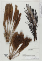
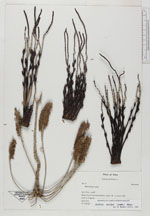
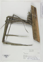
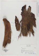
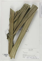
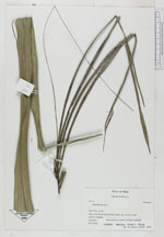
| Field notes | Solitary. stem 14.80 m diam. (DBH), basal 17 cm covered with adventtious roots. Internodes 11 cm high at base, visible as oblique rings, gray. Leaves 14 erect arching; sheath + petiole 255 cm, 53 cm wide , channeled above, rounded below, becoming green upwards, glabrous; rachis 576 x 7 x 4.5 cm, lighter green, channeled above with a prominent ridge, rounded below, dark green, glabrous; pinnae 70 per side, distributed in groups of 2-5, averaging in different plans, basal pinnae 15.5 x 0.3 vm, middle pinnae 145 x 5.5 cm, apical pinnae 45 x 0.2 cm. Inflorescence (staminate) 1 (mature) + 2 buds; interfoliar, erect in buds, becoming pendulous at anthesis, prophyll 53 x 22 cm, bicarinate, brown, woody; peduncular bract 178 x 27 cm, persistent, inserted 10 cm above peduncle, brown out side, cream inside; peduncle 80 x 8 x 4, cream; rachis 80 x 8 x 4 cm, cream |
 Other records of Attalea maripa