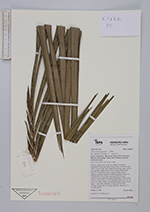
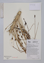
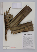
| Field notes | Solitary canopy palm. Stem 16 m high, 23 cm thick; internodes 40 cm long, spiny. Base of stem with few visible roots. Leaves 14 per stem; sheath 250 cm long, open, with 20 cm long black spines; petiole 50 cm long, section round, with 20 cm long black spines; lamina pinnate, bushy, glabrous; pinnae irregularly inserted in groups of up to 10; middle pinna 150 cm long, apical pinna 50 cm long. Infructescence interfoliar; peduncular bract ca. 250 cm long, brown, woody, with to 5 cm long spines; peduncle 150+ cm long, 6 cm wide, with 8 cm long black spines; rachis 130 cm long, 1-4 cm wide, rachillae ca. 350, 20-40 cm long. Silicagel sample taken. Transect: HB 765, subunit no. 73, outside transect |