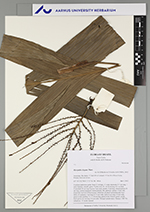
| Field notes | Cespitose understory palm. Stem 2.5 m high, 1.5 wide; internodes 5-7 cm long, > stem diameter, smooth, green. Visible roots 20, 10-30 cm long, 0.3 cm thick. Crownshaft 20 cm long. Leaves 5 per stem; sheath 15 cm long, closed; petiole 10 cm long, section margined; lamina pinnate, flat, glabrous; pinnae 2-4 per side, irregularly inserted. Infructescence infrafoliar; prophyll and peduncular bract fallen of; peduncle 5 cm long, 0.5-1 cm wide; rachis 6 cm long, 0.4 cm wide, green to red; rachillae 11, 15-20 cm long, green to red. Flowers green, sessile. fruits green, 0.6 cm long, 0.6 cm wide. Silicagel sample taken. Transect: HB 750, subunit no. 12, inside transect |