AAU Herbarium Database |
| New Search Modify Search |
| Collector | Emilio, T. |
| Number | 768 |
| Collected with | H. Balslev & D. Pedersen |
| Country | Brazil |
| Subpart | Amazonas |
| County | |
| Locality | Río Juruá. 155 km SW of Carauari. 2.3 km SW of Xibahua. Primary forest on terrace |
| Coordinates | 5° 52' 44.8'' S 67° 52' 20'' W |
| Minimum elevation (m) | 126 |
| Maximum elevation (m) | 126 |
| Start date | 2012/04/03 |
| End date | 2012/04/03 |
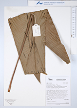
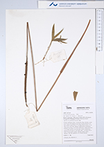
| Family | Arecaceae |
| Identification | Geonoma macrostachys Mart. |
| Determined by | H.Balslev & T. Emilio |
| Identification qualifier | var. ? |
| Field notes | Solitary understory palm. Acaulescent. Base with few visible roots. Leaves 10; sheath 10 cm long, closed; petiole 25 cm long, section round; rachis 37 cm long; lamina entire; 52 cm long, 16 cm wide, flat, glabrous. Inflorescence interfoliar; prophyll 8 cm long, 1 cm wide, herbaceous; peduncular bract 17 cm long, inserted 2 cm from base, brown, herbaceous; peduncle 63 cm long, 0.3 cm wide; spike 7 cm long, 0.8 cm wide. Flowers white, sunken. Silicagel sample taken. Transect: HB 749, subunit no. 24, outside transect |
| |
| Display all 92 georeferenced records of Geonoma Geonoma macrostachys |
| New Search Modify Search |