AAU Herbarium Database |
| New Search Modify Search |
| Collector | Emilio, T. |
| Number | 765 |
| Collected with | H. Balslev & D. Pedersen |
| Country | Brazil |
| Subpart | Amazonas |
| County | |
| Locality | Río Juruá. 125 km SW of Carauari. 0.5 km W of Belomonte. Primary forest on floodplain. |
| Coordinates | 5° 51' 35.7'' S 67° 51' 13.6'' W |
| Minimum elevation (m) | 105 |
| Maximum elevation (m) | 105 |
| Start date | 2012/04/02 |
| End date | 2012/04/02 |
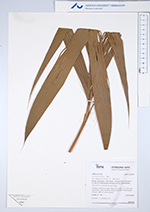
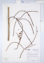
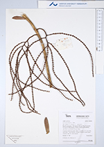
| Family | Arecaceae |
| Identification | Geonoma laxiflora Mart. |
| Determined by | H.Balslev & T. Emilio |
| Identification qualifier | |
| Field notes | Cespitose understory palm. Stem 3-4 m high, 1-1.5 cm wide; internodes < stem diameter, smooth. Silicagel sample taken. Transect: HB 747, from transect |
| |
 Other records of Geonoma laxiflora Other records of Geonoma laxifloraThe map displays only records from the Aarhus Herbarium Database. The records may not represent the full distribution of Geonoma laxiflora |
| New Search Modify Search |