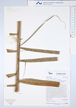
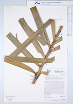
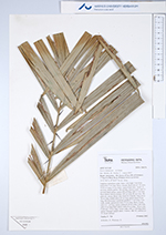
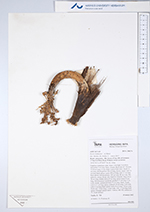
| Field notes | Cespitose understory palm. Stem 1.9 m high, 5 cm thick; internodes 5 cm long, black, smooth. Root cone of >50 roots, 15-30 cm long, 0.3 cm thick. Leaves 9 per stem; sheath 10 cm long, closed; petiole 150 cm long, section round, with 2.5 cm long black spines; rachis 270 cm long, with 2.5 cm long black spines; lamina pinnate, 295 cm long, 85 cm wide, flat, glabrous; pinnae 48 per side, insertion irregular; basal pinna 38 cm long, middle pinna 65 cm long, apical pinna 22 cm long. Infructescence interfoliar; prophyll 13 cm long, 5 cm wide, woody; peduncular bract 22 cm long, black, woody, with 0.5-1 cm long spines; peduncle 20 cm long, 2 cm wide, with 0.3 m long black spines; rachis 8 cm long, 1.8 cm wide. Fruits red, 1.6 cm long, 1.4 cm wide, with 1.4 cm long black spines. Silicagel sample taken. Transect: HB 743, subunit no. 39, inside transect |
 Other records of Bactris halmoorei