| Field notes | Cespitose understory palm. Stem 120 cm high, 1.5 cm thick; internodes 3 cm long, smooth, black. Base of stem with few visible roots. Leaves 9 per stem; sheath 14 cm long, closed, with 1 cm long black spines; petiole 85 cm long, section round, with 7 cm long black spines; rachis 65 cm long; lamina pinnate, 90 cm long, 70 cm wide, bushy; pinnae 6-8 per side, irregularly inserted in groups of 2-3; basal pinna 35 cm long, middle pinna 38 cm long, apical pinna 35 cm long. Infructescence interfoliar; prophyll 10 cm long, 1.5 cm wide, herbaceous; peduncular bract 30 cm long, inserted 2 cm from base, brown-black, woody, with 1 cm long brown spines; peduncle 17 cm long, 0.8 cm wide; rachis 4 cm long, 0.3 cm wide; rachillae 5, 5-10 cm long. Fruits black, 1 cm long, 0.8 cm wide. Silicagel sample taken. Transect: HB 742, subunit no. 38, inside transect |
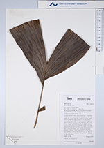
 Other records of Bactris maraja var. juruensis
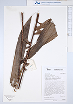