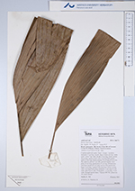
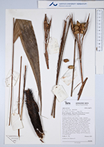
| Field notes | Cespitose understory palm. Stem 1 m high, 1 cm thick; internodes 2 cm long, smooth. Base of stem with few visible roots. Leaves 7 per stem; sheath 13 cm long, closed; petiole 50 cm long, section round, with 3 cm long black spines; rachis 25 cm long; lamina pinnate, 50 cm long, 60 cm wide, flat, glabrous; pinnae 2 per side, insertion regular; basal pinna 34 cm long, apical pinna 37 cm long. Infrutescence interfoliar; prophyll 6 cm long, 0.8 cm wide; peduncular bract 13 cm long, inserted 2 cm from base, brown, woody, with 1 cm long black spines; peduncle 11 cm long, 0.4 cm wide; spike 0.4 cm wide. Fruits green, 1.5 cm long, 1.3 cm wide. Silicagel sample taken. Transect: HB 742, subunit no. 30, inside transect |
 Other records of Bactris oligocarpa