AAU Herbarium Database |
| New Search Modify Search |
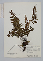
| Collector | Croat, T.B. |
| Number | 27103 |
| Collected with | |
| Country | Panama |
| Subpart | Darien |
| County | |
| Locality | Pinogana. Along headwaters of Río Tuquesa, ca. 2 km air distance from the Continental Divide, in vicinity of upper gold mining camp of Tyler Kittredge. Primary forest. |
| Coordinates | |
| Minimum elevation (m) | 0 |
| Maximum elevation (m) | 0 |
| Start date | 1974/08/25 |
| End date | 1974/08/25 |
| Family | Aspleniaceae |
| Identification | Asplenium cirrhatum Rich. |
| Determined by | |
| Identification qualifier | |
| Field notes | Epiphyte. |
| |
| This record has no coordinates. Display map with the 25 georeferenced records of Asplenium cirrhatum in the AAU Herbarium Database. |
| New Search Modify Search |