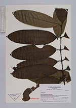
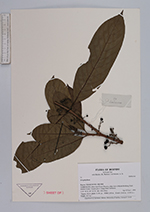
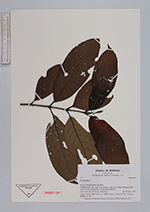
| Collector | Tan, S. |
| Number | 73 |
| Collected with | Balslev, H., Nielsen, I. & Poulsen, A. D. |
| Country | Brunei |
| Subpart | TEMBURONG |
| County | |
| Locality | TEMBURONG, Batu Apoi Forest Reserve, ridge west of Kuala Belalong Field Studies Center, Danish plot 1. Setap shale formation. |
| Coordinates | 4° 10' N 116° 30' E |
| Minimum elevation (m) | 150 |
| Maximum elevation (m) | 210 |
| Start date | 1991/04/15 |
| End date | 1991/06/01 |
| Family | Rubiaceae |
| Identification | Urophyllum Wall. |
| Determined by | |
| Identification qualifier | |
| Field notes | "Square: 05.10, DBH: 32.50 cm. , POM: 2.50 m. , Coord: (5.63 m.; 11.80 m.), Height: 19.7 m." |
|