| Collected with | H. Balslev, L. Mesa, D. Pedersen, J.C. Garcés, F.J. Horacio, N. Morueta, L. Skov Jensen, Mateo Navarro, Pedro Sánchez |
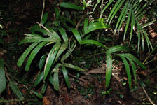
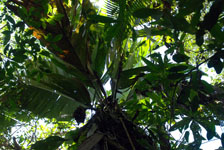
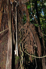
| Locality | Río Guaviare S bank, Barrancón, approximately 2.5 km inland from rivershore, 142 km WNW of Inírida, 14 km WNW of Arrecifal. Tropical rain forest on flat ground with many wet depressions, probably transition from floodplain to terrace. Canopy 20 m tall, forest dominated by palms (Oenocarpus bataua, Manicaria saccifera). |
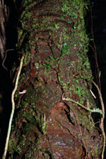
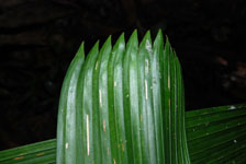
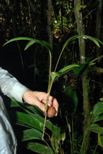
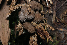
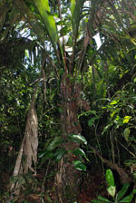
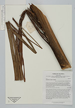
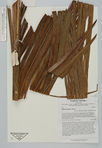
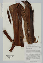
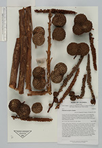
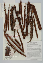
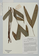
| Field notes | Solitary, canopy palm. With basal cone of about 50 roots, each 50 cm long and 0.8 cm thick. Stem aerial, 6-8 m high, 23-25 cm thick; internodes very short, < stem diameter, brown with rough texture. Leaves 10 per stem; sheaths 159 cm long, open; petiole 6-8 cm long, margined in cross section, concave above; rachis 600 cm long; lamina entire or divided in 17-28 segments, each with 1-many primary veins, lamina 620 cm long, flat, primary veins 145 per side, basal pinna 128 cm, middle pinna 171 cm, apical pinna 17 cm long. Prophyll 103 cm long, 10 cm wide, papery and fibrous in texture; peduncular bract 118 cm long, inserted 29 cm from the base, chocolate-brown; peduncle 120 cm long, 3 cm wide; rachis 62 cm long, 1.5 cm wide; rachillae 62, 12-27 cm long. Flowers brown, sessile. Fruits 4.5x4.5 cm, brown. Transect near HB1018; UTM 19N-479926-398875. |

 Other records of Manicaria saccifera