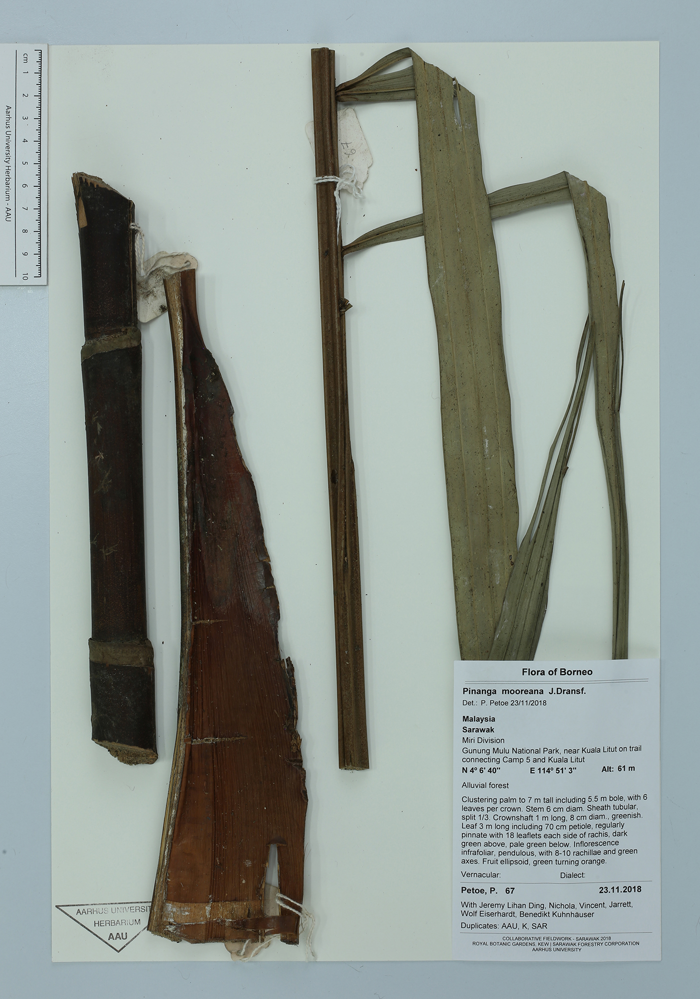
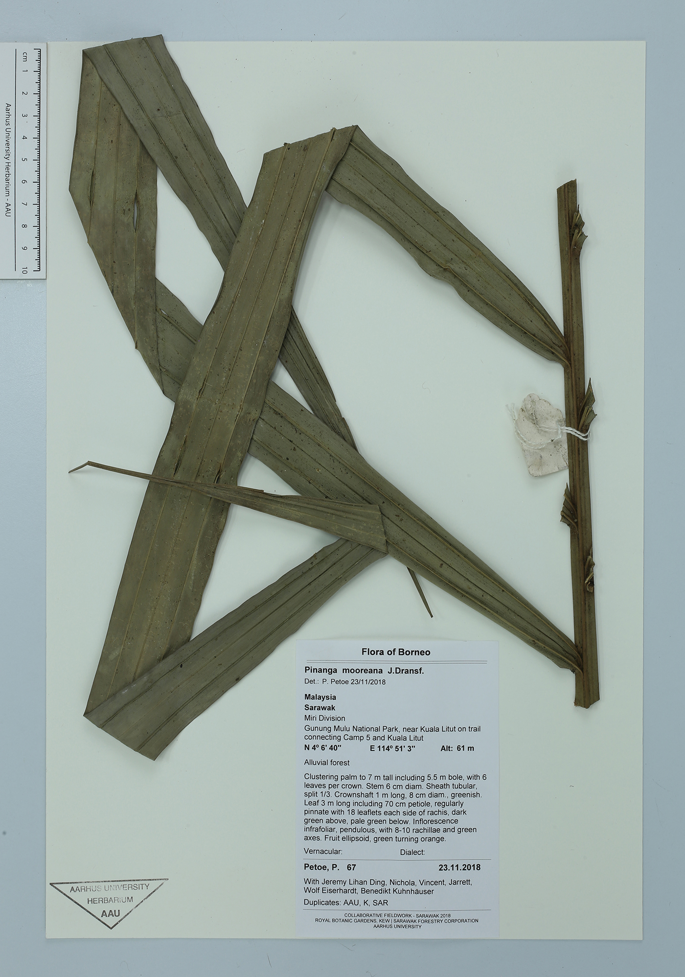
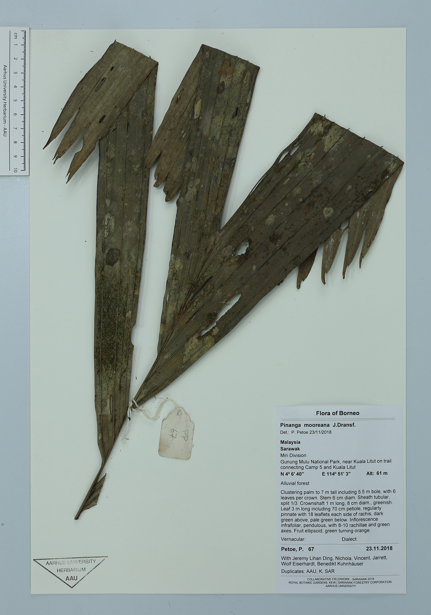
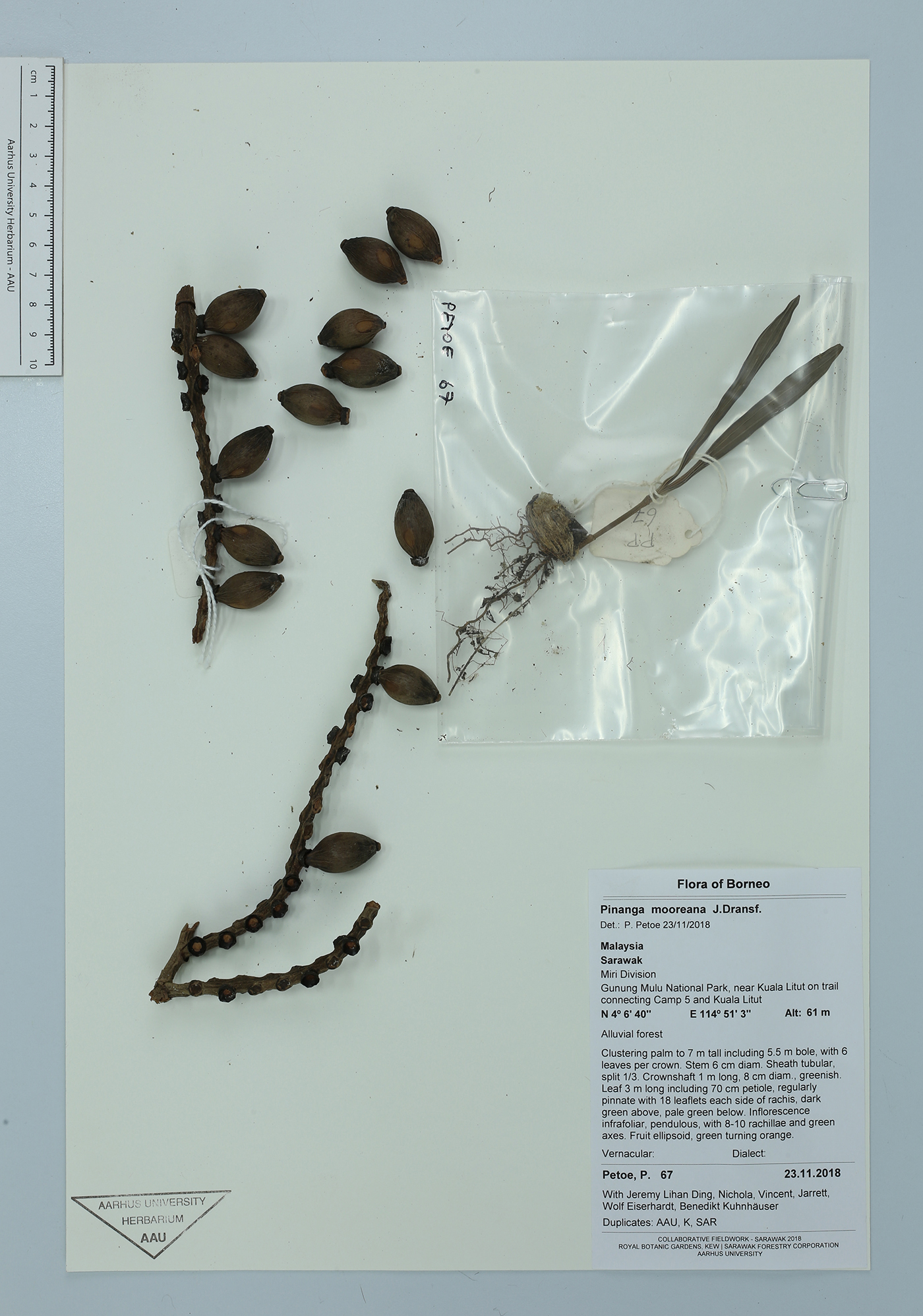
| Collector | Petoe, P. |
| Number | 67 |
| Collected with | Jeremy Lihan Ding, Nichola, Vincent, Jarrett, Wolf Eiserhardt, Benedikt Kuhnhauser |
| Country | Malaysia |
| Subpart | Borneo |
| County | |
| Locality | Sarawak. Miri Division. Gunung Mulu National Park, near Kuala Litut on trail connecting Camp 5 and Kuala Litut |
| Coordinates | 4° 6' 40'' N 114° 51' 3'' E |
| Minimum elevation (m) | 61 |
| Maximum elevation (m) | 61 |
| Start date | 2018/11/23 |
| End date | 2018/11/23 |
| Family | Arecaceae |
| Identification | Pinanga mooreana J.Dransf. |
| Determined by | P. Petoe |
| Identification qualifier | |
| Field notes | Clustering palm to 7 m tall including 5.5 m bole, with 6 leaves per crown. Stem 6 cm diam. Sheath tubular, split 1/3. Crownshaft 1 m long, 8 cm diam., greenish. Leaf 3 m long including 70 cm petiole, regularly pinnate with 18 leaflets each side of rachis, dark green above, pale green below. Inflorescence infrafoliar, pendulous, with 8-10 rachillae and green axes. Fruit ellipsoid, green turning orange. Alluvial forest |
|
 Other records of Pinanga mooreana