AAU Herbarium Database |
| New Search Modify Search |
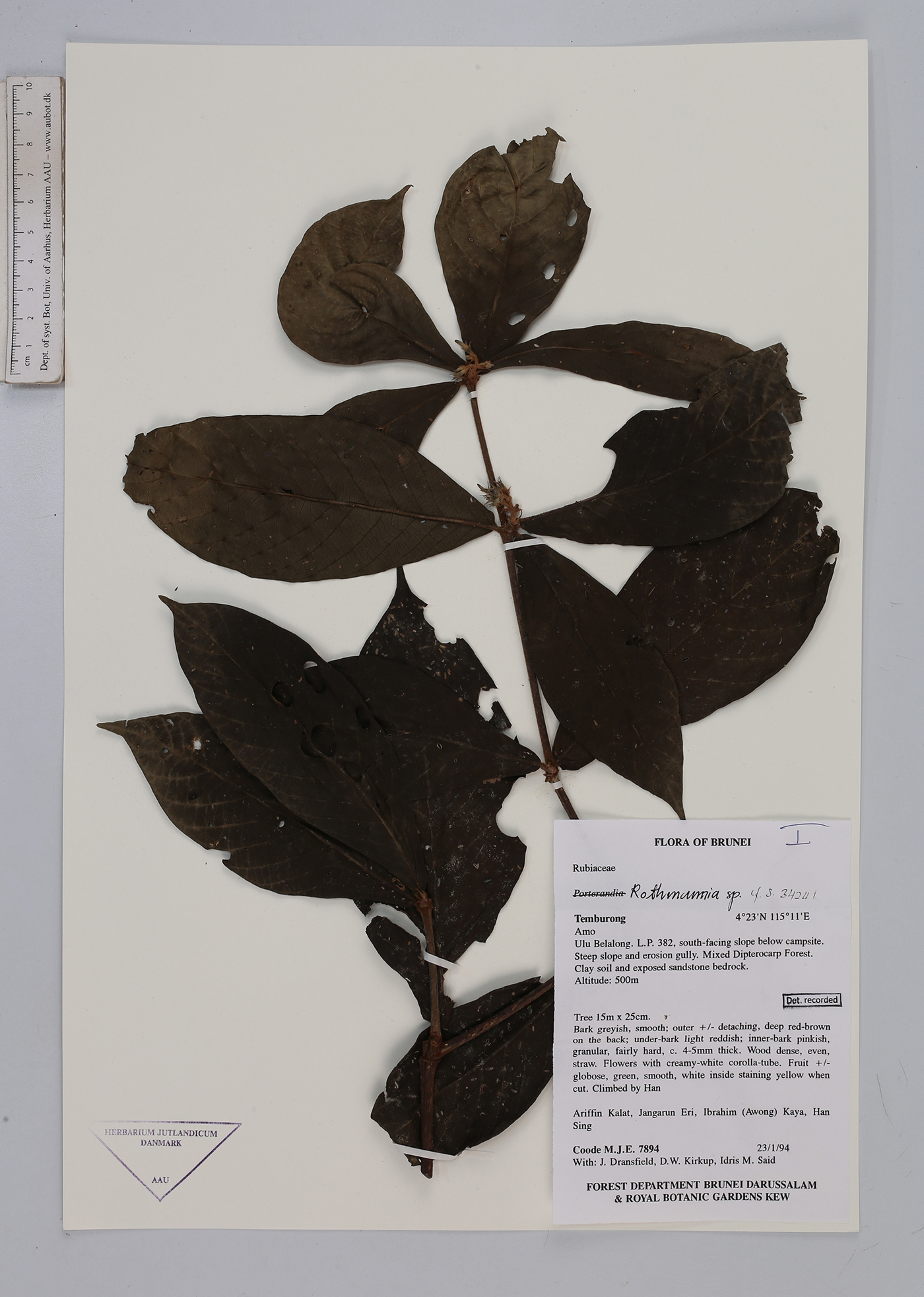
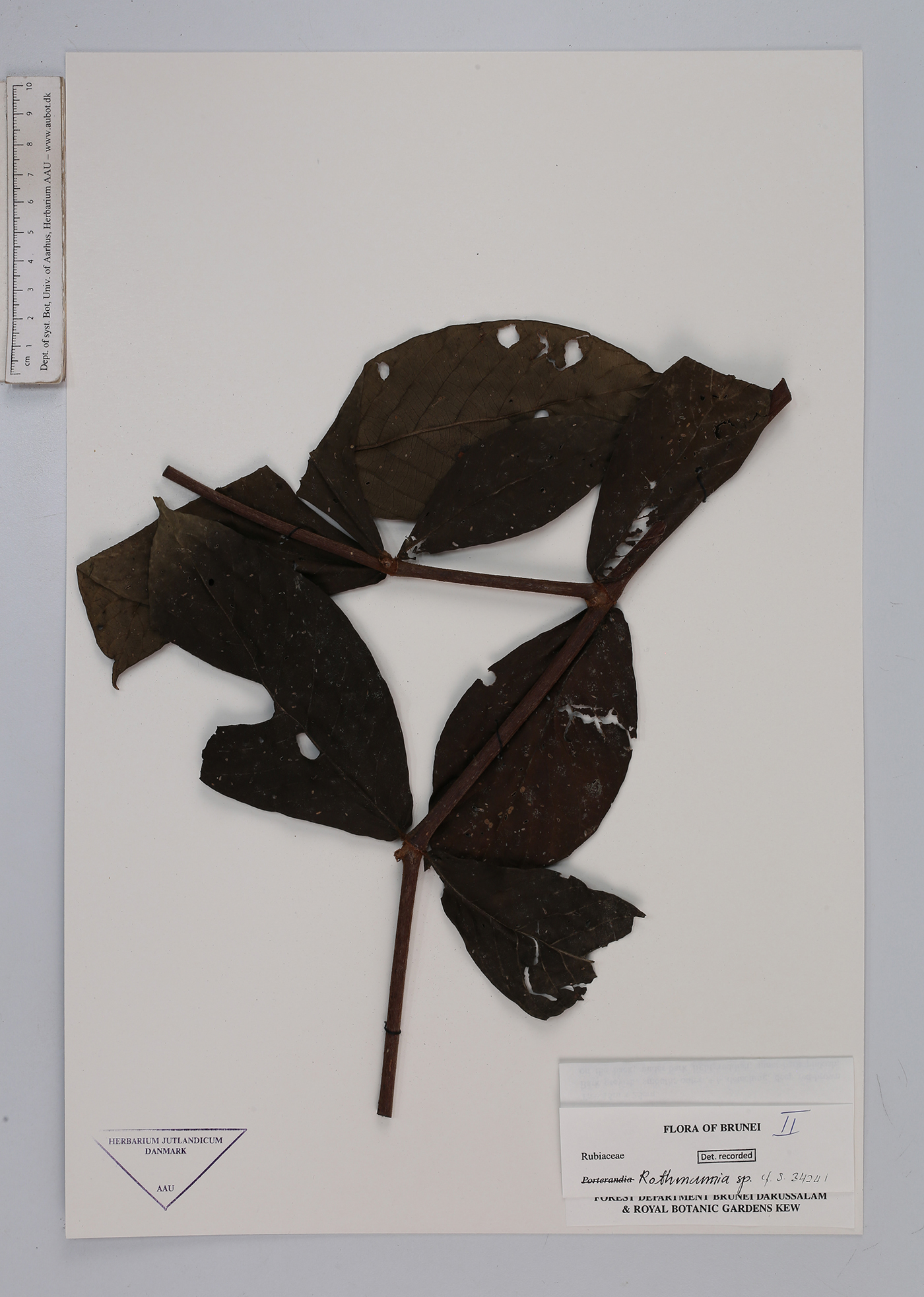
| Collector | Coode, M.J.E. |
| Number | 7894 |
| Collected with | J.Dransfield, D.W.Kirkup, Idris M. Said |
| Country | Brunei |
| Subpart | Temburong |
| County | |
| Locality | Amo. Ulu Belalong. L.P. 382, south-facing slope below campsite. Steep pslope and erosion gully. Mixed Dipterocarp forest. Clay soil and exposed sandstoen bedrock. |
| Coordinates | 4° 23' N 115° 11' E |
| Minimum elevation (m) | 500 |
| Maximum elevation (m) | 500 |
| Start date | 1994/01/23 |
| End date | 1994/01/23 |
| Family | Rubiaceae |
| Identification | Rothmannia |
| Determined by | |
| Identification qualifier | |
| Field notes | Tree 15 m x 25 cm. Bark greyish, smooth; outer +/- detaching, deep red-brown on the back; under bark light reddish; inner-bark pinkish, granular, fairly hard, c. 4-5- mm thick. Wood dense, even, straw. Flowers with creamy-white corolla-tube. Fruit +/- globose, green, smooth, white inside staining yellow when cut. Climbed by Han. |
| |
 Other records of Rothmannia Other records of RothmanniaThe map displays only records from the Aarhus Herbarium Database. The records may not represent the full distribution of Rothmannia |
| New Search Modify Search |