AAU Herbarium Database |
| New Search Modify Search |
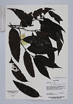
| Collector | Coode, M.J.E. |
| Number | 6555 |
| Collected with | W.K.Meng, et al. |
| Country | Brunei |
| Subpart | |
| County | |
| Locality | Temburong District: Temburing River, just upstream from Wong Nguan rapids. Mixed lowland forest. Shales. River vallet. |
| Coordinates | |
| Minimum elevation (m) | 120 |
| Maximum elevation (m) | 120 |
| Start date | 1990/04/06 |
| End date | 1990/04/06 |
| Family | Rubiaceae |
| Identification | Urophyllum Wall. |
| Determined by | |
| Identification qualifier | |
| Field notes | Erect treelet 3 m. fruit green, globose, smooth. |
| |
| This record has no coordinates. Display map with the 41 georeferenced records of Urophyllum in the AAU Herbarium Database. |
| New Search Modify Search |