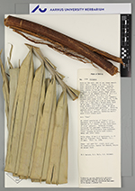
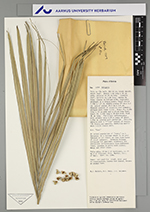
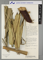
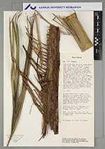
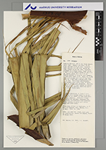
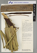
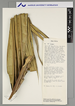
| Field notes | Palm ca 15m tall, dbh 44 cm, trunk smooth. Adult leaf: sheath 1. 4m long x 50 cm. wide, petiole ca. 20 cm long. Juvenile leaf, petiole ea. 1.0 m long, rachis 6m long, pinnae ca. 110 per side, regularly arranged on a single plane, basal pinnae 1.56m x 1.8 cm, middle pinnae 97 cm.x 5.3 cm, apical pinnae 28.5 cm.x 0.8 cm. Abaxial portion of juvenile leaf somewhat striped with creme color. Bract # l, 2. 28m long x 23 cm. wide and a 49 cm long beak, bract # 2, .2.32m long x 28.8cm wide, beak 38 cm long. Pistillate inflorescence with primary axis 2.09 m long, of which 1.05m is covered with rachillae. Fruiting panicle with a 7-"line" spiral of fruits, 176 fruits per panicle, rachillae mostly with 1-2 (3) fruits each. n.v. "Cusi" An island population of "cusi," ca. 4 hectares, in a village where it is prohibited to cut these, as they form basis of local industry. Juvenile foliage collected for specimen, staminate and pistillate inflorescence from different trees, growing in grove with citrus, mango and other trees |