| Collector | Holm-Nielsen, L. B. |
| Number | 5646 |
| Collected with | Jeppesen, S. & Lojtnant, B. & Ollgaard, B. |
| Country | Ecuador |
| Subpart | CARCHI |
| County | |
| Locality | Valle de Maldonado, km 53 on the road Tulcán - Maldonado. Steep slopes in cloud forest. |
| Coordinates | 0° 50' N 78° 3' W |
| Minimum elevation (m) | 3150 |
| Maximum elevation (m) | 3250 |
| Start date | 1973/05/17 |
| End date | 1973/05/18 |
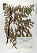
| Family | Dennstaedtiaceae |
| Identification | Hypolepis bogotensis H. Karst. |
| Determined by | L. D. Gomez, 1982 |
| Identification qualifier | |
| Field notes | In Chusquea-scrub. Rhizome long, creeping. Fronds c. 4 m long. Stipe emerging at acute angles. |
|
 Other records of Hypolepis bogotensis