AAU Herbarium Database |
| New Search Modify Search |
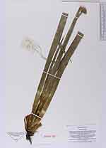
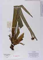
| Collector | Averyanov, L. |
| Number | VH4121 |
| Collected with | N.Q. Binh & N.T. Hiep |
| Country | Vietnam |
| Subpart | Lam Dong |
| County | |
| Locality | Distr. Lac Duong, municipalite Da Chay, 40 km to NE from Dalat city. Closed primary wet broadleaved cloud forest on SW macroslope of Hon Giao mt. ridge |
| Coordinates | 12° 11' N 108° 43' E |
| Minimum elevation (m) | 1700 |
| Maximum elevation (m) | 1700 |
| Start date | 1997/04/21 |
| End date | 1997/04/21 |
| Family | Xyridaceae |
| Identification | Xyris grandis Ridl. |
| Determined by | |
| Identification qualifier | |
| Field notes | Terrestrial and epilite herb. Flowers yellow. Very common. Often dominante in forb forest stratum, especially in wet open places at 1660-1800 m alt on S, W and E macroslope of ridge |
| |
| New Search Modify Search |