| Collector | Ruokolainen, K. |
| Number | 5079 |
| Collected with | Tuomisto, H.; Layche, A.; Ríos, R.; Torres, A.; Sarmiento, A.; |
| Country | Peru |
| Subpart | Loreto |
| County | |
| Locality | Maynas. Ca. 7 km east of the oil palm plantation at Río Manití. Primary unflooded rain forest on rather flat clayey terrain ca. 20 m above the level of Quebrada Paparo. |
| Coordinates | 3° 38' S 72° 56' W |
| Minimum elevation (m) | 100 |
| Maximum elevation (m) | 150 |
| Start date | 1992/08/31 |
| End date | 1992/08/31 |
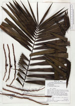
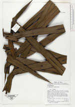
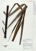
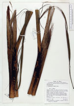
| Family | Arecaceae |
| Identification | Oenocarpus mapora H.Karst. |
| Determined by | Balslev, H. |
| Identification qualifier | |
| Field notes | Height 9 m. DBH 7 cm. Leaf 4 m long and 1.2 m broad, sheath 50 cm long. First leaflet 10 cm from the sheath, leaflets in groups. Fruit green, peduncles red |
|