AAU Herbarium Database |
| New Search Modify Search |
| Collector | Vormisto, J. |
| Number | 656 |
| Collected with | A. Byg |
| Country | Ecuador |
| Subpart | ZAMORA-CHINCHIPE/NANGARITZA |
| County | |
| Locality | Río Nangaritza. Ca. 1,2 km NE from the village of Yayu. Premontane, unflooded, old-growth forest on clay soil. |
| Coordinates | 4° 23' S 78° 40' W |
| Minimum elevation (m) | 910 |
| Maximum elevation (m) | 970 |
| Start date | 2002/11/15 |
| End date | 2002/11/15 |
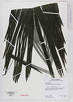
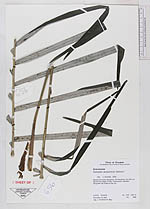
| Family | Arecaceae |
| Identification | Ceroxylon amazonicum G. Galeano |
| Determined by | J. Vormisto 2003 |
| Identification qualifier | |
| Field notes | |
| |
 Other records of Ceroxylon amazonicum Other records of Ceroxylon amazonicumThe map displays only records from the Aarhus Herbarium Database. The records may not represent the full distribution of Ceroxylon amazonicum |
| New Search Modify Search |