AAU Herbarium Database |
| New Search Modify Search |
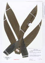
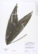
| Collector | Vormisto, J. |
| Number | 375 |
| Collected with | Vargas, V. |
| Country | Peru |
| Subpart | Loreto |
| County | |
| Locality | Maynas. Río Yaguasyacu. Ca. 4 km to NW of the village Puerto Izango. Unflooded primary rain forest on clay loam soil, undulating terrain with 20 m high hills. |
| Coordinates | 3° 16' S 72° 1' W |
| Minimum elevation (m) | 100 |
| Maximum elevation (m) | 150 |
| Start date | 1997/05/19 |
| End date | 1997/05/19 |
| Family | Arecaceae |
| Identification | Geonoma macrostachys var. acaulis (Mart.)A.J.Hend. |
| Determined by | |
| Identification qualifier | |
| Field notes | |
| |
| Display all 211 georeferenced records of Geonoma Geonoma macrostachys var. acaulis |
| New Search Modify Search |