AAU Herbarium Database |
| New Search Modify Search |
| Collector | Vormisto, J. |
| Number | 310 |
| Collected with | |
| Country | Peru |
| Subpart | |
| County | |
| Locality | Loreto, Maynas. Quebrada Blanco. Ca 2 km to NW of the village Siete de Julio. Unflooded rain forest on gently undulating terrain, on Pebas soil formation |
| Coordinates | 4° 23' S 73° 7' W |
| Minimum elevation (m) | 100 |
| Maximum elevation (m) | 150 |
| Start date | 1997/05/09 |
| End date | 1997/05/09 |
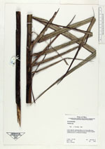
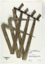
| Family | Arecaceae |
| Identification | Attalea |
| Determined by | Vormisto, J. |
| Identification qualifier | |
| Field notes | |

| |
 Other records of Attalea Other records of AttaleaThe map displays only records from the Aarhus Herbarium Database. The records may not represent the full distribution of Attalea |
| New Search Modify Search |