| Collector | Vormisto, J. |
| Number | 102 |
| Collected with | G:Criollo |
| Country | Peru |
| Subpart | |
| County | |
| Locality | Loreto, Maynas. Rio Nanay. Ca 5,5 km to NW of the village of Tarapoto. Unflooded primary rain forest on clay soil, in a valley |
| Coordinates | 3° 47' S 73° 28' W |
| Minimum elevation (m) | 100 |
| Maximum elevation (m) | 150 |
| Start date | 1996/02/19 |
| End date | 1996/02/19 |
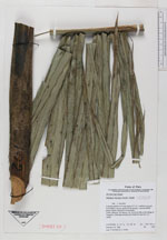
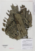
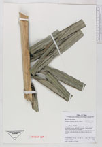
| Family | Arecaceae |
| Identification | Attalea maripa (Aubl.) Mart. |
| Determined by | |
| Identification qualifier | |
| Field notes | 3 leaves, petiole 4 m long, blade 517 cm. Leaflets in groups 5-6 leaflets in group, about 30-35 groups. Leaves whitish below. Brown indument in the petiole |
|
 Other records of Attalea maripa