AAU Herbarium Database |
| New Search Modify Search |
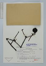
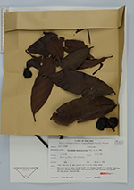
| Collector | Maxwell, J.F. |
| Number | 85-757 |
| Collected with | |
| Country | Thailand |
| Subpart | Songkhla |
| County | |
| Locality | Haad Yai District. Ko Hong Hill, summit ridge. Open margins of the secondary forest, rocky area. |
| Coordinates | |
| Minimum elevation (m) | 325 |
| Maximum elevation (m) | 325 |
| Start date | 1985/07/27 |
| End date | 1985/07/27 |
| Family | Clusiaceae |
| Identification | Garcinia nigrolineata Planch. ex T.Anderson |
| Determined by | C. Ngernsaengsaruay |
| Identification qualifier | |
| Field notes | Treelet 2.5 m tall, bark black and rough; fruit dark green outside, whitish inside, endosperm white; sap yellow; blades dark green above, green underneath. |
| |
| This record has no coordinates. Display map with the 1 georeferenced records of Garcinia nigrolineata in the AAU Herbarium Database. |
| New Search Modify Search |