| Collector | Madsen, J. E. |
| Number | 75775 |
| Collected with | Bloch, C. & Christensen, H. |
| Country | Ecuador |
| Subpart | ZAMORA-CHINCHIPE |
| County | |
| Locality | Parque Nacional Podocarpus. Road Yangana - Valladolid, km 26. Montane forest along ravine. |
| Coordinates | 4° 29' S 79° 9' W |
| Minimum elevation (m) | 2550 |
| Maximum elevation (m) | 2550 |
| Start date | 1988/12/02 |
| End date | 1988/12/02 |
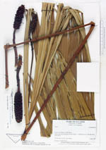
| Family | Cyclanthaceae |
| Identification | Sphaeradenia oxystigma R. Erikss. |
| Determined by | Eriksson, R. (GB), 1994. |
| Identification qualifier | |
| Field notes | Common in closed forest. |
|
 Other records of Sphaeradenia oxystigma