| Collector | Madsen, J. E. |
| Number | 7203 |
| Collected with | Orlando A. Sanchez |
| Country | Ecuador |
| Subpart | LOJA |
| County | |
| Locality | Rd. La Toma - Catacocha, ca. km 26. Matorral vegetation and ravine with disturbed remnants of montane forest. |
| Coordinates | 3° 58' 40'' S 79° 28' 53'' W |
| Minimum elevation (m) | 2300 |
| Maximum elevation (m) | 2300 |
| Start date | 2000/09/03 |
| End date | 2000/09/03 |
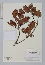
| Family | Myrtaceae |
| Identification | Myrcianthes fimbriata (Kunth) McVaugh |
| Determined by | M.L. Kawasaki & B. Holst |
| Identification qualifier | |
| Field notes | Shrub, 2 m tall. Fruits turning reddish. |
|
 Other records of Myrcianthes fimbriata