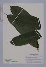
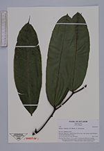
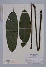
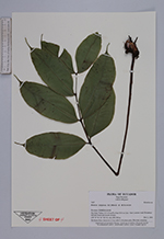
| Collector | Navarrete, H. |
| Number | 3167 |
| Collected with | B. Ollgaard |
| Country | Ecuador |
| Subpart | ESMERALDAS |
| County | |
| Locality | San José, Valley 0.5-2 km N of km 35.8 on Lita-San Lorenzo road. Disturbed tall rain forest and stream ravines. |
| Coordinates | 1° 2' N 78° 37' W |
| Minimum elevation (m) | 250 |
| Maximum elevation (m) | 380 |
| Start date | 1998/12/02 |
| End date | 1998/12/02 |
| Family | Marattiaceae |
| Identification | Danaea latipinna R.C.Moran & H.Tuomisto |
| Determined by | H. Turmisto & V. Keskiniva |
| Identification qualifier | |
| Field notes | On forest floor, leaves to 1.5 m, with 3-6 pinna pairs. Rhizome creeping. |
|
 Other records of Danaea latipinna