AAU Herbarium Database |
| New Search Modify Search |
| Collector | Moore,Jr., H.E. |
| Number | 6597 |
| Collected with | |
| Country | Costa Rica |
| Subpart | Heredia |
| County | |
| Locality | East slopes above San Miguel, valley of the Rio Sarapiqui. |
| Coordinates | |
| Minimum elevation (m) | 700 |
| Maximum elevation (m) | 700 |
| Start date | 1953/03/26 |
| End date | 1953/03/26 |
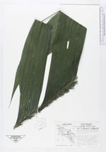
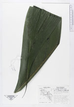
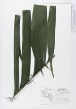
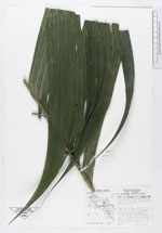
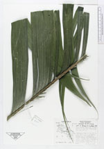
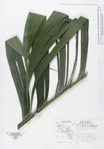
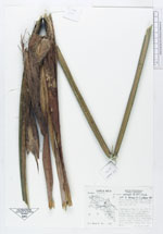
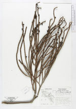
| Family | Arecaceae |
| Identification | Geonoma interrupta (Ruiz & Pav.)Mart. |
| Determined by | Bernal, R.; Galeano, G. |
| Identification qualifier | |
| Field notes | Solitary, stem to ca. 40 ft. 4 in. D.E.H., 2 at crown, leaves ca. 10, spreading, bright green, slightly paler below. Spadix red, pendulous, mature fruit globose, black with purplish pulp. Only one seen |
| |
| This record has no coordinates. Display map with the 35 georeferenced records of Geonoma interrupta in the AAU Herbarium Database. |
| New Search Modify Search |