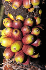
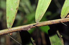
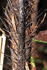
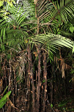
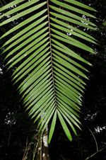
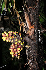
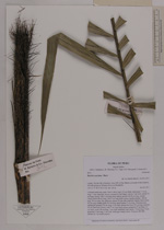
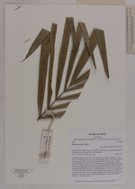
| Field notes | Colonial understory palm. Stem 2.48 m high, 2.5 cm thick; internodes 7-10 cm long, > stem diameter, brown, covered by leaf bases. Leaves 7 per stem; sheath 23 cm long, closed, with 1 cm long black spines; petiole 40-50 cm long, section round; rachis 98 cm long, with 2 cm long black spines; lamina pinnate, 168 cm long, 79 cm wide, flat, glabrous; pinnae 32 per side, insertion regular; basal pinna 34 cm long, middle pinna 45 cm long, apical pinna 27 cm long. Infructescence infrafoliar; prophyll 20 cm long, 3 cm wide; peduncular bract 22 cm long, inserted 16 cm from base, brown, with 2 cm long black spines; peduncle 27 cm long, 2.5 cm wide; rachis 18 cm long, 1 cm wide; rachillae 2 per rachis, 7-8 cm long. Fruits green/red, 2 cm long, 1 cm wide. Silica gel sample taken. Transect: HB 460, subunit no. 14, inside transect |