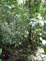
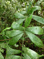
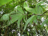
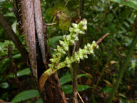
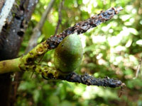
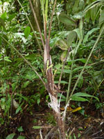
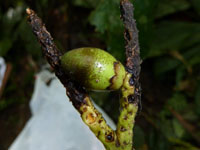
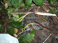
| Field notes | Cespitose understory palm. Stem 50 cm long, 2.3 cm thick; internodes 5 cm long, >stem diameter, brown, smooth, covered by leaf bases. Leaves 8 per stem; sheath 25 cm long, closed; petiole 72 cm long, section round; rachis 83 cm long; lamina pinnate, 107 cm long, 56 cm wide, bushy, glabrous; pinnae 13 per side, regularly inserted in groups of 1-4; basal pinna 24 cm long, middle pinna 28 cm long, apical pinna 26 cm long. Inflorescence interfoliar; prophyll 14 cm long, 1.8 cm wide, papery; peduncular bract 28.5 cm long, inserted 0.5 cm from base, brown, herbaceous, spiny; spines 0.4 cm long, brown with yellow apex; peduncle 17.5 cm long, 0.7 cm wide; rachis 0 cm long; rachillae 2 per rachis, 4.2-5.5 cm long. Silica gel sample taken. Transect: HB 445, subunit no. 6, inside transect |
 Other records of Bactris chaveziae