AAU Herbarium Database |
| New Search Modify Search |
| Collector | Balslev, H. |
| Number | 8356 |
| Collected with | D. Pedersen, M.V. Sørensen, A.K. Brunbjerg & C. Grández |
| Country | Peru |
| Subpart | Madre de Dios |
| County | |
| Locality | Tambopata province. 24.7 km E of Puerto Maldonado, 8.5 km NE of Estacion Cientifica Ita. North bank of Río Madre de Dios. Tres Cargantes. Primary forest on floodplain |
| Coordinates | 12° 29' 44.76'' S 68° 58' 33.12'' W |
| Minimum elevation (m) | 189 |
| Maximum elevation (m) | 189 |
| Start date | 2011/03/22 |
| End date | 2011/03/22 |
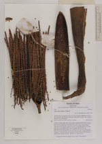
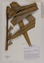
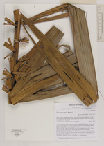
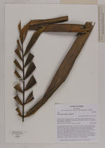
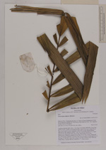
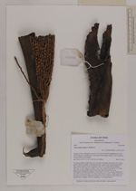
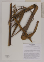
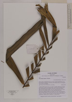
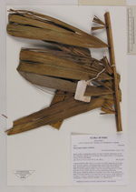
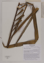
| Family | Arecaceae |
| Identification | Oenocarpus mapora H.Karst. |
| Determined by | Henrik Balslev |
| Identification qualifier | |
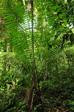
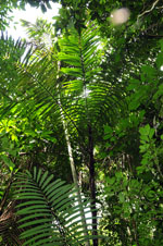
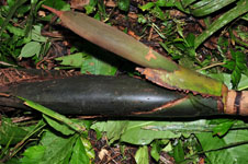
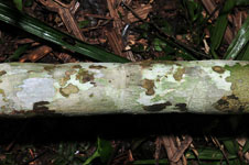
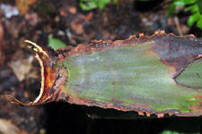
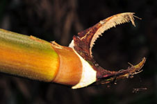
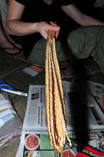
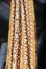
| Field notes | Cespitose midstory palm. Stem 11.4 m long; 9 cm thick; internodes 10 cm long, green to brown, smooth. Crownshaft present. Leaves 9 per stem; sheath 58 cm long, closed; petiole section margined; rachis 262 cm long; lamina pinnate, 289x144 cm, flat, glabrous; pinnae 72 per side, inserted in groups of 1-3; basal pinna 60 cm long; middle pinna 70 cm long; apical pinna 28 cm long. Inflorescence infrafoliar; prophyll 24 cm long, 10 cm wide, woody; peduncular bract 49 cm long, inserted 2.5 cm from base, brown to green, woody; peduncle 11 cm long, 2.5 cm wide; rachis 38 cm long, 6 cm wide. Flowers cream. Silica gel sample taken. Transect: HB 410, subunit no. 11, inside transect |
| |
| Display all 59 georeferenced records of Oenocarpus Oenocarpus mapora |
| New Search Modify Search |