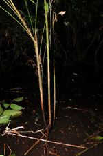
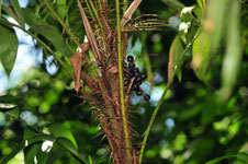
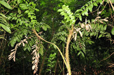
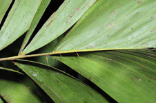
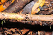
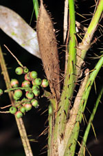
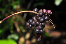
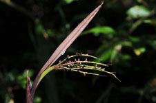
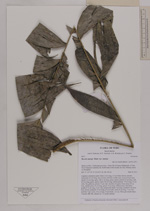
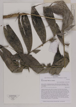
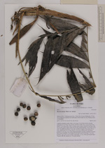
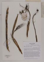
| Field notes | Cespitose understory palm. Stem 2.4 m long, 2.5 cm thick, brown, smooth; internodes 4-5 cm long, base of stem with few visible roots. Leaves 8 per stem; sheath 14 cm long, open, with 2 cm long, green, spines; petiole 22 cm long, with 0.8 cm long, green, spines; rachis 60 cm long; lamina pinnate, 79 cm long, 24 cm wide, flat, glabrous; pinnae 10 per side, insertion irregular; basal pinna 10 cm long, middle pinna 14 cm long, apical 14 cm long. Inflorescence interfoliar; prophyll 16 cm long, 2 cm wide; peduncular bract 5 cm long, inserted 9 cm from base, brown; peduncle 19 cm long, 0.8 cm wide; rachis 8 cm long, 7 cm wide; rachillae 7 per rachis, 4-6 cm long. Fruits black, 1x1 cm. Silica gel sample taken. Transect: HB 406, subunit no. 71, inside transect |