AAU Herbarium Database |
| New Search Modify Search |
| Collector | Balslev, H. |
| Number | 8244 |
| Collected with | Dennis Pedersen, Narel Paniagua Zambrana, Manual Macia & Alexander Parada |
| Country | Bolivia |
| Subpart | Cochabamba/Beni |
| County | |
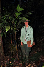
| Locality | 115 km NE of Cochabamba, 2 km NW of the San Antonio village, next to the Moleto river. Primary rain forest on steep hills. |
| Coordinates | 16° 23' 17.8'' S 65° 54' 55.1'' W |
| Minimum elevation (m) | 363 |
| Maximum elevation (m) | 363 |
| Start date | 2010/03/29 |
| End date | 2010/03/29 |
| Family | Arecaceae |
| Identification | Geonoma brevispatha Barb-Rodr. |
| Determined by | Balslev H. |
| Identification qualifier | |
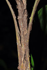
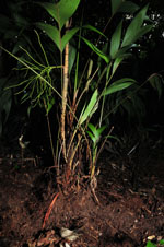
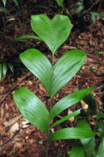
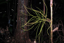
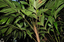
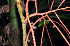
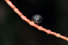
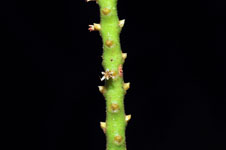
| Field notes | Cespitose understory palm. Stem 77 cm long, 1.5 cm thick, smooth, yellow; internodes 3 cm long. Leaves 9; sheath 15 cm long, open; petiole 33 cm long, section margined; rachis 43 cm long; lamina pinnate, 55 cm long, 33 cm wide, glabrous; pinnae per side 4, regularly inserted; basal pinna 26 cm long, middle pinna 32 cm long, apical pinna 33 cm long. Inflorescence infrafoliar; peduncle 3.5 cm long, 0.8 cm wide; rachis 9 cm long, 0.5 cm wide; rachillae 6, 11-15 cm long. Flowers sessile, cream colored. Transect HB134, SU 088; UTM 20K-188582-8185878, in transect |
| |
 Other records of Geonoma brevispatha Other records of Geonoma brevispathaThe map displays only records from the Aarhus Herbarium Database. The records may not represent the full distribution of Geonoma brevispatha |
| New Search Modify Search |