| Collector | Balslev, H. |
| Number | 8225 |
| Collected with | D. Pedersen, L.S. Damgaard, K.Ø. Madsen, A. Alvarado, A. Serralta, A. Moo, O. Alvarado, R. Duno, G. Dzib & L.M. Calvo |
| Country | Mexico |
| Subpart | Quintana Roo |
| County | |
| Locality | Municipio Othón P. Blanco. 76.5 km SW of Chetumal, 13 km SE of Ejido Tres Garantías. Semievergreen tropical rainforest on limestone |
| Coordinates | 18° 6' 22.6'' N 88° 53' 49'' W |
| Minimum elevation (m) | 215 |
| Maximum elevation (m) | 0 |
| Start date | 2010/02/27 |
| End date | 0/00/00 |
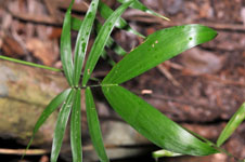
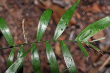
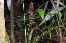
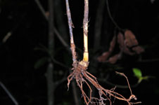
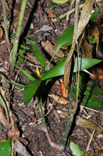
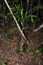
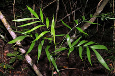
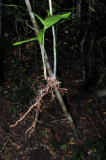
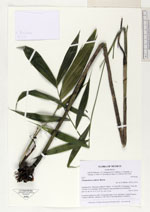
| Family | Arecaceae |
| Identification | Chamaedorea seifrizii Burret |
| Determined by | H. Balslev |
| Identification qualifier | |
| Field notes | Cespitose understory palm. Vernacular name: X·yat. Informant: Carlos Varguez. Transect HB1546, subunit no. 049+058; UTM 16Q-0299276-2002976. |
|
 Other records of Chamaedorea seifrizii