| Collector | Balslev, H. |
| Number | 8219 |
| Collected with | D. Pedersen, L.S. Damgaard, K.Ø. Madsen, A. Alvarado, A. Serralta, A. Moo, O. Alvarado, R. Duno, G. Dzib & L.M. Calvo |
| Country | Mexico |
| Subpart | Quintana Roo |
| County | |
| Locality | Municipio Othón P. Blanco. 84 km SW of Chetumal, 9.5 km S of Ejido Tres Garantías. Semievergreen tropical rainforest on limestone |
| Coordinates | 18° 6' 31.7'' N 88° 59' 15.1'' W |
| Minimum elevation (m) | 173 |
| Maximum elevation (m) | 0 |
| Start date | 2010/02/26 |
| End date | 0/00/00 |
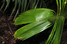
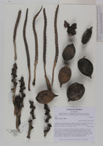
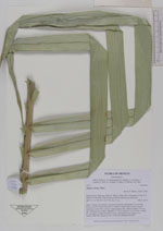
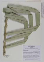
| Family | Arecaceae |
| Identification | Attalea cohune Mart. |
| Determined by | A. Henderson (NY) |
| Identification qualifier | |
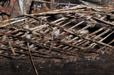
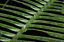
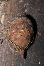
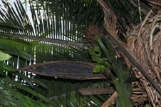
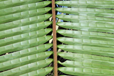
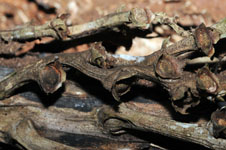
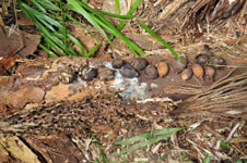
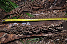
| Field notes | Stem 7 m long, 30 cm thick, covered by leaf bases; internodes 4-14 cm long, brown. Leaves 15 fresh ones and 12 withered; sheath closed; petiole section margined; rachis 614+ cm long; lamina pinnate, flat, glabrous; pinnae 179+ per side. Inflorescence, female: peduncle ca. 120 cm long, ca. 4-5 cm wide; rachillae 60+ per rachis. Vernacular name: Corozo. Informant Carlos Varguez. To Transect HB1544, subunit no. 007; UTM 16Q-0289689-2003358 |
|
 Other records of Attalea cohune