| Collected with | D. Pedersen, L.S. Damgaard, K.Ø. Madsen, A. Alvarado, A. Serralta, A. Moo, O. Alvarado, R. Duno, G. Dzib & L.M. Calvo |
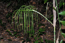
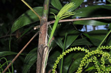
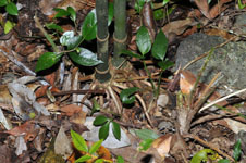
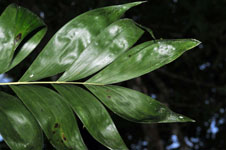
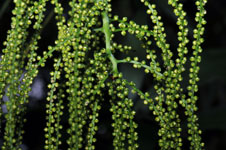
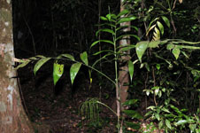
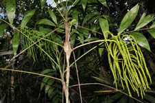
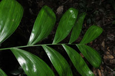
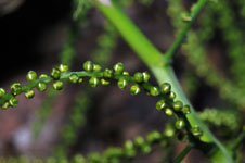
| Field notes | Solitary understory palm. Root cone with ca 20 roots, 10-45 cm long, 0.5 cm thick. Stem 2.71 m long, 1-2 cm thick, smooth, covered by leaf-bases apically; internodes 3-16 cm long, green. Leaves 5 per stem; sheath 18-22 cm long, closed; petiole 19.5-26 cm long, section round; rachis 42-54 cm long; lamina pinnate, 45-52 cm wide, 56-69 cm long, flat, glabrous; pinnae 7-8 per side, insertion regular, basal pinna 23-27 cm long, middle pinna 28-30 cm long, apical pinna 15 cm long. Inflorescence infrafoliar; prophyll 3 cm long, 0.5 cm wide, papery; peduncular bracts 3-5, 5.5-13 cm long, inserted 0-16 cm from base, brown, papery; peduncle 14.5-18,5 cm long, 0.5 cm wide; rachis 17-21 cm long, 0.4-0,5 cm wide; rachillae 28-31 per rachis, 20-31 cm long. Flowers sessile, green. Vernacular name: X·yat. Informant Carlos Varguez. To Transect HB1543, subunit no. 000; UTM 16Q-0280956-2011859 |
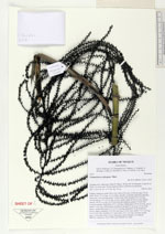
 Other records of Chamaedorea oblongata
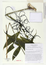