| Collected with | D. Pedersen, L.S. Damgaard, K.Ø. Madsen, A. Alvarado, A. Serralta, A. Moo, O. Alvarado, R. Duno, G. Dzib & L.M. Calvo |
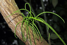
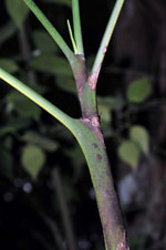
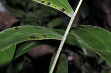
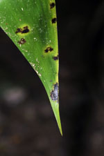
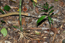
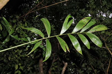
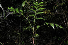
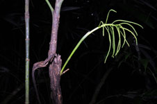
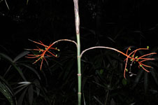
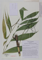
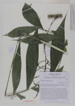
| Field notes | Solitary understory palm. Visible roots 29, 5-18 cm long, 0,3-0,4 cm thick, forming a basal cone. Stem 212 cm long, 1-1.3 cm thick, smooth; internodes 4-12 cm long, green. Leaves 5 per stem; sheath 19 cm long, closed; petiole 39 cm long, section round; rachis 44 cm long; lamina pinnate, 50 cm wide, 59 cm long, flat, glabrous; pinnae 6 per side, insertion regular, basal pinna 22 cm long, middle pinna 26 cm long, apical pinna 18 cm long. Inflorescence/infructescence infrafoliar; prophyll 2 cm long, 0,8 cm wide, papery; peduncular bracts 4, 4-10 cm long, inserted 0-10 cm from base, green, herbaceous; peduncle 18 cm long, 0,4 cm wide; rachis 7 cm long, 0.2-0.4 cm wide; rachillae 20 per rachis, 5-9.5 cm long. Flowers sessile, immature. Fruits 1.3 cm long, 0.6 cm wide, green. Vernacular name: X·yat. Informant: Carlos Varguez. Transect HB1542, subunits no. 070+073+076; UTM 16Q-0278275-2012783 |
 Other records of Chamaedorea oblongata