| Collected with | D. Pedersen, L.S. Damgaard, K.Ø. Madsen, A. Alvarado, A. Serralta, A. Moo, O. Alvarado, R. Duno, G. Dzib & L.M. Calvo |
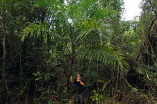
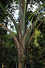
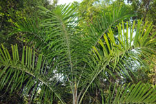
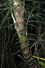
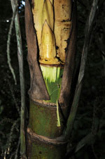
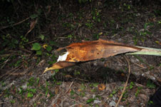
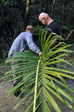
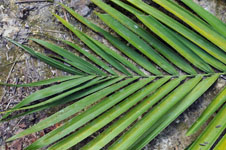
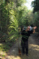
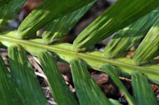
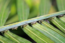
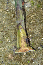
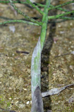
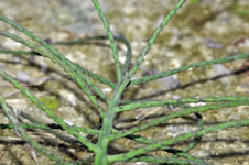
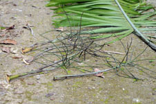
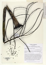
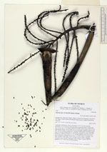
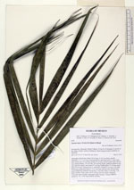
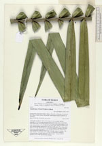
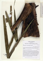
| Field notes | Adult palm with flowers. Stem 4.30 m long, 10-10.5 cm thick, smooth; internodes 7.5-13.5 cm long, basal part brown, apical part green. Leaves 8 per stem; sheath open, 65 cm long; petiole 50 cm long, section round; rachis 210 cm long; lamina pinnate, 120 cm wide, 230 cm long, bushy, glabrous; pinnae 82 per side, insertion regular, basal pinna 57 cm long, middle pinna 70 cm long, apical pinna 18 cm long. Inflorescences 5, infrafoliar; prophyll 9 cm long, 4 cm wide, herbaceous; peduncular bracts 3, 11-21 cm long, inserted 4-20 cm from base, green, herbaceous; peduncle 44 cm long, 2 cm wide; rachis 12 cm long, 1 cm wide; rachillae 18 per rachis, 24-32 cm long. Flowers sessile, immature. Vernacular name: K'ambó. Informant Carlos Varguez. Transect HB1535, subunit no. 101; UTM 16Q-0283536-2020802 |

 Other records of Gaussia maya