AAU Herbarium Database |
| New Search Modify Search |
| Collector | Balslev, H. |
| Number | 8187 |
| Collected with | D. Pedersen, L.S. Damgaard, K.Ø. Madsen, A. Alvarado, A. Serralta, A. Moo, O. Alvarado, R. Duno, G. Dzib & L.M. Calvo |
| Country | Mexico |
| Subpart | Quintana Roo |
| County | |
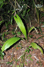
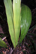
| Locality | Municipio Othón P. Blanco. 87 km W of Chetumal, 22 km S of the village of Ejido Caobas (Chichán ja). Semievergreen tropical rainforest on limestone |
| Coordinates | 18° 14' 48.9'' N 89° 5' 8.2'' W |
| Minimum elevation (m) | 185 |
| Maximum elevation (m) | 0 |
| Start date | 2010/02/21 |
| End date | 0/00/00 |
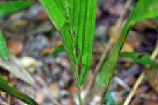
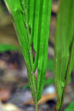
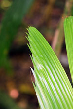
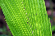
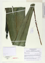
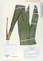
| Family | Arecaceae |
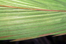
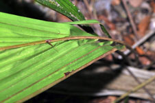
| Identification | Attalea cohune Mart. |
| Determined by | H. Balslev |
| Identification qualifier | |
| Field notes | Seedling. Vernacular name: Corozo. Informant: Carlos Varguez. Transect HB1535, subunit no. 022; UTM 16Q-0279482-2018762 |
| |
 Other records of Attalea cohune Other records of Attalea cohuneThe map displays only records from the Aarhus Herbarium Database. The records may not represent the full distribution of Attalea cohune |
| New Search Modify Search |