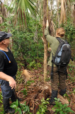
| Collected with | D. Pedersen, L.S. Damgaard, K.Ø. Madsen, A. Alvarado, A. Serralta, A. Moo, O. Alvarado, R. Duno, G. Dzib & L.M. Calvo |
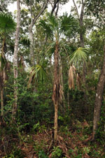
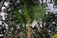
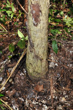
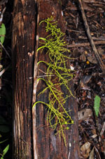
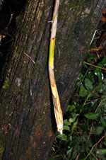
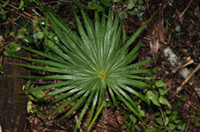
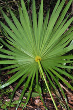
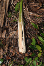
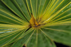
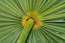
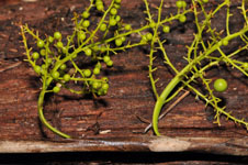
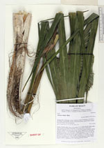
| Field notes | Solitary midstory palm. Stem 3.06 m long, 9-13 cm thick, basically naked, upper half covered by leaf bases; internodes 3-4 cm long. Leaves 10 fresh and 7 withered; sheath 30 cm long, open; petiole 92 cm long, section margined; lamina palmate, circular, 115 cm in diameter, flat, glabrous. Infructescence interfoliar; prophyll 8 cm long, 2 cm wide, papery; peduncular bracts 5, 10-13 cm long, the first inserted 4 cm from base, brown, papery; peduncle 56 cm long, 1 cm wide; rachis 60 cm long, 0.7 cm wide; rachillae 9 per rachis, 9-27 cm long, branched one time. Fruits immature. Vernacular name: Ch'íit. Informant: Lázaro Chimal. Transect HB1515, subunit no. 052; UTM 16Q-0452560-2354040 |
 Other records of Thrinax radiata