| Collected with | D. Pedersen, L.S. Damgaard, K.Ø. Madsen, A. Alvarado, A. Serralta, A. Moo, O. Alvarado, R. Duno, G. Dzib & L.M. Calvo |
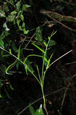
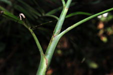
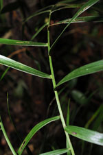
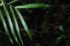
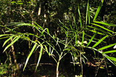
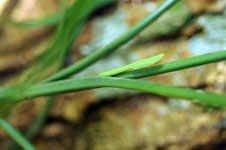
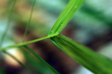
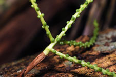
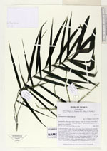
| Field notes | Cespitose understory palm. Stem 2.98 m long, 0.8 cm thick, smooth; internodes 10 cm long, green. Leaves 7 per stem; leaf sheath 12 cm long; petiole 8 cm long, section margined; rachis 27 cm long; lamina pinnate, flat, glabrous; pinnae 8 per side, insertion regular, basal pinna 16 cm long, middel pinna 20 cm long, apical pinna 14.5 cm long. Inflorescence interfoliar; prophyll 0.5 cm long, 0.5 cm wide, papery; peduncular bract 3 cm long, brown, papery; peduncle 3.5 cm long, 0.5 cm wide; rachis 1 cm long, 0.5 cm wide; rachillae 4 per rachis, 9 - 11.5 cm long. Flowers immature, sessile. Vernacular name: X·yat. Informant Lázaro Chimal. Transect HB1503, subunit no. 032; UTM 16Q-0462761-2340128 |

 Other records of Chamaedorea seifrizii