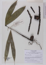
| Collector | Balslev, H. |
| Number | 8082 |
| Collected with | C. Grandez, D. Pedersen, B. Bergmann, G. del Aguila Panduro, Jim Chilo, A. Alvarado & J. Gonzales Baardales |
| Country | Peru |
| Subpart | Loreto |
| County | |
| Locality | Río Ucayali, 10 km W of Orellana, 181 km NW of Pucallpa. Km 11 on Orellana - El Dorado road, right side of road. Disturbed primary forest. UTM 18M: 473125; 9235392 |
| Coordinates | 6° 55' 2.1'' S 75° 14' 35.8'' W |
| Minimum elevation (m) | 159 |
| Maximum elevation (m) | 0 |
| Start date | 2009/07/03 |
| End date | 0/00/00 |
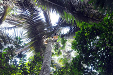
| Family | Arecaceae |
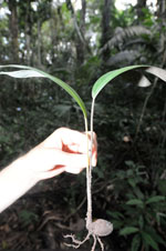
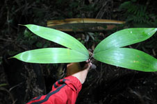
| Identification | Oenocarpus bataua Mart. |
| Determined by | Balslev H. |
| Identification qualifier | |
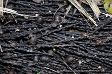
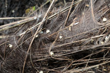
| Field notes | Seedling and fruits collected. HB transect 400, subunit 18. |
|