AAU Herbarium Database |
| New Search Modify Search |
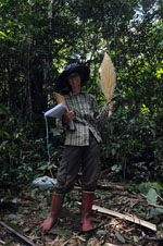
| Collector | Balslev, H. |
| Number | 8056 |
| Collected with | C. Grandez, D. Pedersen, B. Bergmann, G. del Aguila Panduro, Jim Chilo, A. Alvarado & J. Gonzales Baardales |
| Country | Peru |
| Subpart | Loreto |
| County | |
| Locality | Río Ucayali, 5.6 km NW of Orellana, 182 km NW of Pucallpa. Disturbed primary forest. UTM 18M: 479375; 9240485 |
| Coordinates | 6° 52' 16.3'' S 75° 11' 12.1'' W |
| Minimum elevation (m) | 168 |
| Maximum elevation (m) | 0 |
| Start date | 2009/07/01 |
| End date | 0/00/00 |
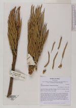
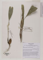
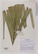
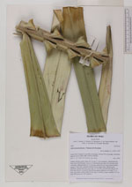
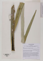
| Family | Arecaceae |
| Identification | Astrocaryum faranae F.Kahn & E.Ferreira |
| Determined by | Balslev H. |
| Identification qualifier | |
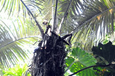
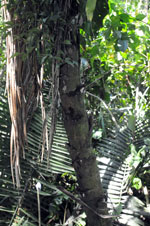
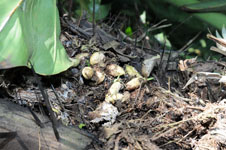
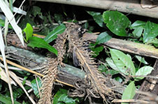
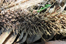
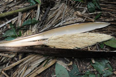
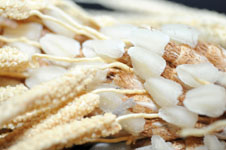
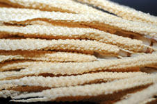
| Field notes | Solitary midstory palm. Stem 287 cm tall, 17 cm in diameter, with protrusions from rests of leaf sheaths. Leaves 13; leaf sheath more than 165 cm long, open, with black, flattened spines to 10 cm long; rachis 490 cm long; lamina pinnate; pinnae 113 per side, regularly inserted, in one single plane. Inflorescence interfoliar; peduncular bract more than 113 cm long, inserted more than 20 cm from base, brown, covered by short brown spines; peduncle more than 73 cm long, 4 cm thick, cream; rachis 46 cm long, 5 cm thick, cream; rachillae 9-11 cm long. HB transect no. 395, subunit 3 |
| |
 Other records of Astrocaryum faranae Other records of Astrocaryum faranaeThe map displays only records from the Aarhus Herbarium Database. The records may not represent the full distribution of Astrocaryum faranae |
| New Search Modify Search |