| Collector | Balslev, H. |
| Number | 8044 |
| Collected with | C. Grandez, D. Pedersen, B. Bergmann, G. del Aguila Panduro, Jim Chilo, A. Alvarado & J. Gonzales Baardales |
| Country | Peru |
| Subpart | Loreto |
| County | |
| Locality | Río Ucayali, 18 km E of Orellana, 170 km NW of Pucallpa. 2 hours by boat upriver from the village of Alfonzo Ugarte and 1 hour walking. Primary forest on tierra firme. UTM 18M: 500509; 9234733 |
| Coordinates | 6° 55' 23.8'' S 74° 59' 43.4'' W |
| Minimum elevation (m) | 150 |
| Maximum elevation (m) | 0 |
| Start date | 2009/06/29 |
| End date | 0/00/00 |
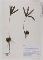
| Family | Arecaceae |
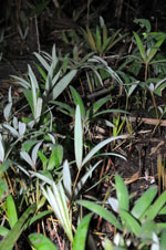
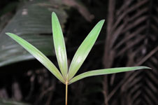
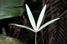
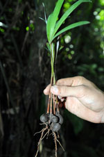
| Identification | Oenocarpus mapora H.Karst. |
| Determined by | Balslev H. |
| Identification qualifier | |
| Field notes | Seedling. HB transect no. 392, subunit 9 |
|