AAU Herbarium Database |
| New Search Modify Search |
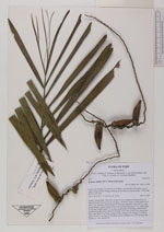
| Collector | Balslev, H. |
| Number | 8041 |
| Collected with | C. Grandez, D. Pedersen, B. Bergmann, G. del Aguila Panduro, Jim Chilo, A. Alvarado & J. Gonzales Baardales |
| Country | Peru |
| Subpart | Loreto |
| County | |
| Locality | Río Ucayali, 16.5 km SE of Orellana, 161 km NW of Pucallpa. Top of ridge 2.5 km E of the Village of Monte de los Olivos. Primary forest. UTM 18M: 491527; 9221632 |
| Coordinates | 7° 2' 30.4'' S 75° 4' 36.2'' W |
| Minimum elevation (m) | 258 |
| Maximum elevation (m) | 0 |
| Start date | 2009/06/27 |
| End date | 0/00/00 |
| Family | Arecaceae |
| Identification | Syagrus smithii (H. E. Moore)Glassman |
| Determined by | Balslev H. |
| Identification qualifier | |
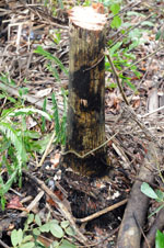
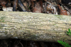
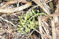
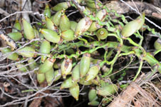
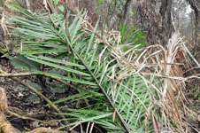
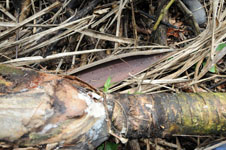
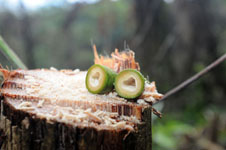
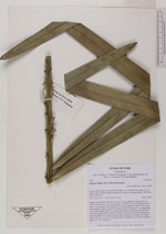
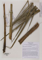
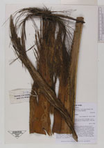
| Field notes | Solitary canopy palm. Stem 422 cm tall, 10 cm in diameter, fissured, base of stem with numerous roots to 20 cm long, 1 cm thick. Leaves 5; leaf sheath more than 23 cm long cm, closed; petiole 30 cm long, margined; rachis 265 cm long; lamina pinnate, bushy; pinnae 93 per side, inserted in groups of 1-4, basal pinna 39 cm long, middle pinna 75 cm long, apical pinna 20 cm long. Inflorescence interfoliar; prophyll more than 45 cm long, 5 cm wide, herbaceous; peduncular bract more than 95 cm long, woody, brown; peduncle 50 cm long, 2 cm thick, green; rachis 37 cm long, 1.9 cm thick, green; rachillae 42, 22-45 cm long. HB transect no. 390, subunit 98 |
| |
 Other records of Syagrus smithii Other records of Syagrus smithiiThe map displays only records from the Aarhus Herbarium Database. The records may not represent the full distribution of Syagrus smithii |
| New Search Modify Search |