| Collector | Balslev, H. |
| Number | 7924 |
| Collected with | C. Grandez, D. Pedersen, B. Bergmann, G. del Aguila Panduro, Jim Chilo, A. Alvarado & J. Gonzales Baardales |
| Country | Peru |
| Subpart | Loreto |
| County | |
| Locality | Río Ucayali, 60 km SW of Contamana, 106 km NW of Pucallpa, Nueva Bellaunde. S side of Río Pisqui. Flat, rarely inundated ground. Disturbed forest with many tractor tracks. UTM 18M: 466790; 9136756 |
| Coordinates | 7° 48' 34'' S 75° 18' 4.4'' W |
| Minimum elevation (m) | 169 |
| Maximum elevation (m) | 0 |
| Start date | 2009/06/11 |
| End date | 0/00/00 |
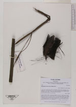
| Family | Arecaceae |
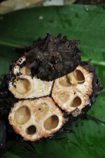
| Identification | Phytelephas macrocarpa Ruiz & Pav. |
| Determined by | Balslev H. |
| Identification qualifier | |
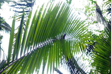
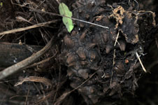
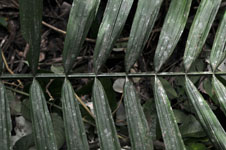
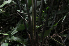
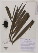
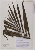
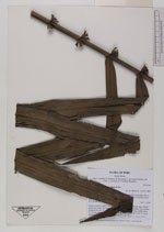
| Field notes | Solitary, midstory palm. Acaulescent. Number of leaves 7; sheath open, sheath + petiole more than 166 cm long; rachis 292 cm long; lamina pinnate, flat; number of pinnae per side 45, regularly inserted, basal pinna 32 cm long, middle pinna 74 cm long, apical pinna 15 cm long. Infructescence interfoliar; head 20 cm in diameter. HB transect no. 369, subunit no. 7 |


|
 Other records of Phytelephas macrocarpa