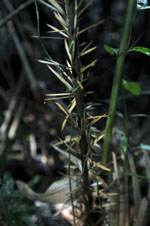
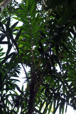
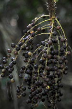
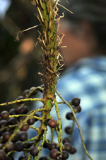
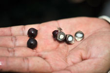
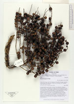
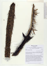
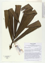
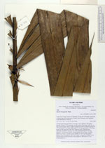
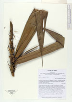
| Field notes | Colonial understory palm. Stem 3.5 m long, 4 cm in diameter, with spines; Number of leaves 7; leaf sheath 45 cm long; petiole 82 cm long; rachis 162 cm long; lamina pinnate, bushy; number of pinnae per side 18, inserted in groups of 3-4, basal pinna 53 cm long, middle pinna 57 cm long, apical pinna 33 cm long; sheath, petiole and rachis with yellow, flattened spines. Infructescence interfoliar; prophyll 29 cm long, 4 cm wide; peduncular bract 68 cm long, inserted 11 cm from base, brown, woody; peduncle 42 cm long, 4 cm thick; rachis 10 cm long, 1 cm thick, green; rachillae 25, 18-30 cm long, green; prophyll, bract and peduncle with yellow spines. Fruits globose, purple. Fruits collected from several individuals in the population. HB transect no. 363, outside subunit no. 1 |