| Collector | Balslev, H. |
| Number | 7738 |
| Collected with | C. Grandez, G. Criollo, D. Pedersen, L. Stewart, I. Nicolajsen, W. Eiserhardt, D. Lindvig |
| Country | Peru |
| Subpart | Junín |
| County | |
| Locality | Hills some 4km WSW of Atalaya along road departing from end of airport runway (UTM 8813271 S; 632326 W). Flat microfloodplain among hills in tall rainforest with small streams and sometimes wet soils. |
| Coordinates | 10° 43' 59.2'' S 73° 47' 23.5'' W |
| Minimum elevation (m) | 304 |
| Maximum elevation (m) | 0 |
| Start date | 2008/10/13 |
| End date | 0/00/00 |
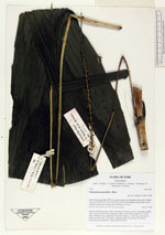
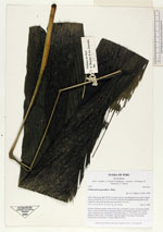
| Family | Arecaceae |
| Identification | Chamaedorea pauciflora Mart. |
| Determined by | H. Balslev |
| Identification qualifier | |
| Field notes | Solitary understory palm. Stem 0.6m long, 2cm thick. Leaves 5 per stem; sheath 18cm, closed; petiole 40cm margined, green; rachis 60cm; lamina 90 x 30cm, entire. Infructescence interfoliar; peduncular bracts 3, 13cm long, soft, brown; peduncle 44cm long, 0.2cm thick, smooth; rachis 27cm long, 0.3cm thick, unbranched; fruits sessile. Transect HB344-SU53. |
_HB7738_Chamaedorea_pauciflora.jpg)
_HB7738_Chamaedorea_pauciflora.jpg)
|