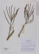
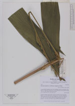
| Collector | Balslev, H. |
| Number | 7553 |
| Collected with | C. Grandez, G. Criollo, D. Pedersen, L. Stewart, I. Nicolajsen, W. Eiserhardt, D. Lindvig |
| Country | Peru |
| Subpart | Ucayali-Atalaya |
| County | |
| Locality | Fernando Estál on Río Schahuaya, 169km S of Pucallpa (UTM 8907335 S; 588185 W). Rain forest on the first hills after the flood plain less than 1 km west of the village; steep slopes in places. |
| Coordinates | 9° 53' 1.5'' S 74° 11' 44.4'' W |
| Minimum elevation (m) | 233 |
| Maximum elevation (m) | 0 |
| Start date | 2008/09/28 |
| End date | 0/00/00 |
| Family | Arecaceae |
| Identification | Geonoma maxima var. chelidonura (Spruce)A.J.Hend. |
| Determined by | H. Balslev |
| Identification qualifier | |
| Field notes | Cespitose understory palm. Stem 2.5m long, 2cm thick. Leaves 9 per stem; sheath 12cm, open; petiole 40cm, margined, green; rachis 42cm; lamina 80 x 100cm; pinnae 9 per side, basal 43cm, middle 50cm, apical 55cm. Peduncle 10cm long, 1cm thick, smooth; rachis 20cm long, branched to 2nd order; rachillae 7, 17cm long, 0.3cm thick. Transect HB328-outside subunit 17. |
|