| Collector | Balslev, H. |
| Number | 7528 |
| Collected with | G. Criollo |
| Country | Peru |
| Subpart | Loreto |
| County | |
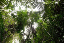
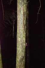
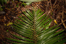
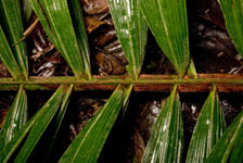
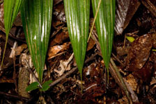
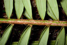
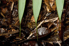
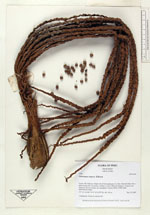
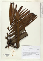
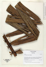
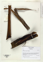
| Locality | Río Tahuayo. Right side of river going up. Ca. 5km. from El Chino. On a path towards Rio Amazonas, walked ca. 4km. 63km S of Iquitos. Tropical rain forest on flat low terrace, not inundated. Transect #322. (UTM 18M: 0693708;9524356). |
| Coordinates | 4° 18' 4.375'' S 73° 15' 16.488'' W |
| Minimum elevation (m) | 110 |
| Maximum elevation (m) | 0 |
| Start date | 2007/12/12 |
| End date | 0/00/00 |
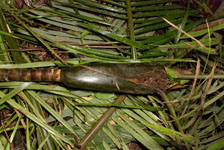
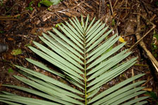
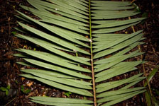
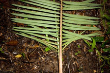
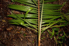
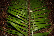
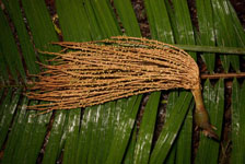
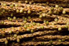
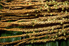
| Family | Arecaceae |
| Identification | Oenocarpus mapora H.Karst. |
| Determined by | |
| Identification qualifier | |
| Field notes | 2 duplicates. Found in subunit 091. |
|