| Collector | Balslev, H. |
| Number | 7169 |
| Collected with | G. Criollo, C. Grandez & T. Kristiansen |
| Country | Peru |
| Subpart | Loreto |
| County | |
| Locality | Río Napo left bank going down river, between San Felipe and Paleta (both) right bank and ca. 10 km upstream from Negro Urco. Floodplain forest w. low density of tall, thick trees. Holocene floodplain sediments. (UTM 18m;0674457;9674236). Transect 248 |
| Coordinates | 2° 56' 46'' S 73° 25' 49'' W |
| Minimum elevation (m) | 0 |
| Maximum elevation (m) | 0 |
| Start date | 2006/10/20 |
| End date | 0/00/21 |
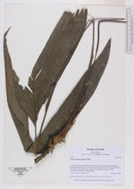
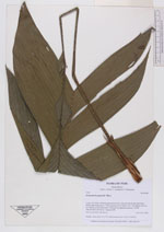
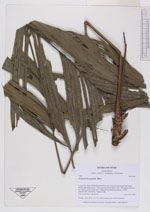
| Family | Arecaceae |
| Identification | Geonoma brongniartii Mart. |
| Determined by | |
| Identification qualifier | |
| Field notes | Solitary. Stem short. Lvs 7-8. Inflorescence erect. (AAU+AMAZ) |
|